Work hard for environmental construction : China launches Huanjing satellite

Overview

Long March 2C takes off Credit : China Aerospace Science and Technology Corporation
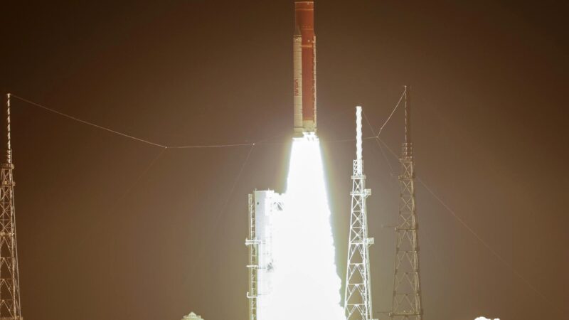
The Huanjing 2E, developed by the China Aerospace Science and Technology Corporation, was launched aboard a Long March 2C carrier rocket from Taiyuan Satellite Launch Center on Oct 13, 2022. The satellite entered its preset orbit and the launch mission was a complete success[1].
Huanjing ( satellite )

3D simulation image of Huanjing 2E Credit : China Aerospace Science and Technology Corporation
China plans to launch eleven Huanjing[2] ( Chinese: 环境 ) satellites for disaster and environmental monitoring (” huanjing” is Chinese for “environment “). The satellites will be capable of visible, infrared, multi-spectral and synthetic-aperture radar imaging.
The first two satellites, Huanjing-1A and Huanjing-1B, were launched on 6 September 2008 on a Long March 2C rocket from the Taiyuan Satellite Launch Center. In a report dated 3 September 2008, the Associated Press of Pakistan indicated the launch would be conducted 5 September 2008 using a Long March 2C launch vehicle.On 5 September 2008, Aviation Week reported the first launch would be of optical imaging satellites.
Huanjing-1C was launched on 16 November 2012 on a Long March 2C rocket from the Taiyuan Satellite Launch Center. It is the first civilian Chinese remote sensing satellite to use a synthetic-aperture radar as imaging instrument. This S-band synthetic-aperture radar ( SAR ) was manufactured in Russia by NPO Mashinostroyeniya.
The two satellites, Huanjing-2A and Huanjing-2B, were launched on 27 September 2020 at 03:23 UTC on a Long March 4B launch vehicle from the Taiyuan Satellite Launch Center. The satellites ” provide services concerning environmental protection, natural resources, water conservancy, agriculture and forestry “, Xinhua said.
Detail

Outstretched view of the Huanjing 2E Credit : China Aerospace Science and Technology Corporation
Huanjing 2E main users for emergency management department and the ecological environment, the satellite is used to get China and the global surface of synthetic aperture radar ( SAR ) image data, increase the rate of remote sensing data localization, for the relief of disaster prevention and reduction, environmental protection business applications provide a basic guarantee, and in the service of land and resources, water conservancy, agriculture, forestry, earthquake monitoring, etc.
The satellite adopted a unique innovative system, which greatly improved the core performance index of the payload, and further optimized the on-board data transmission and image accuracy. Meanwhile, the on-board emergency data processing system can generate images of designated areas, water monitoring data and oil spill detection data in real time, which greatly improves the timeliness of emergency data for disaster prevention and relief and environmental protection.
The successful launch of the Huanjing 2E has enhanced China’s operational application capabilities in disaster prevention, emergency management and ecological environment remote sensing monitoring, and will further meet the country’s demand for continuous supply of SAR resolution data in related fields.
References:


