The highest temperatures and destructive wildfires in Europe as satellites track from space
Broken temperature records, the highest possible risk of wildfires and broiling soil are revealed in satellite data when Europe swelters in an ultimate heatwave that is set to exacerbate a widespread drought caused by the lack of rain in winter and spring.
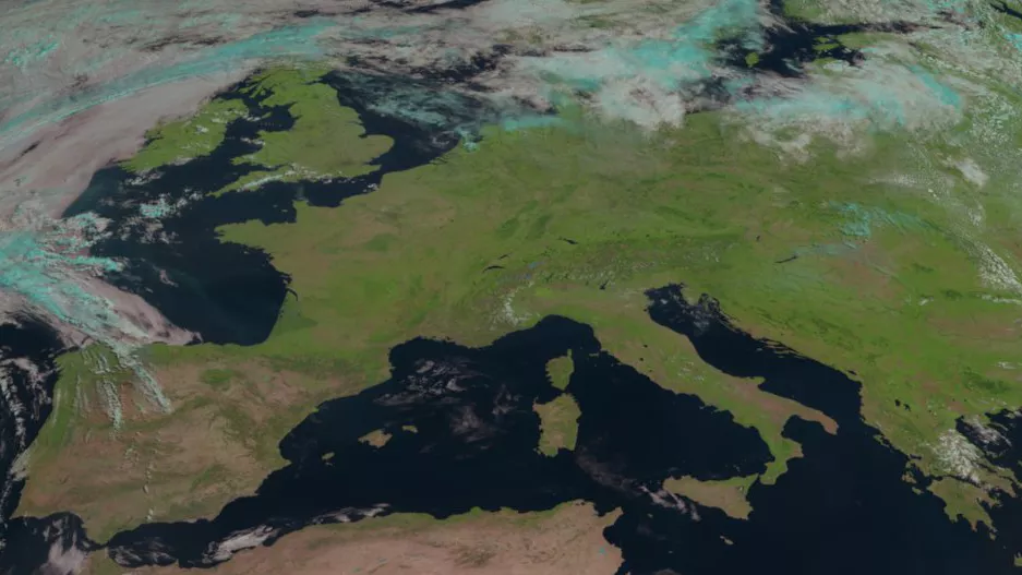
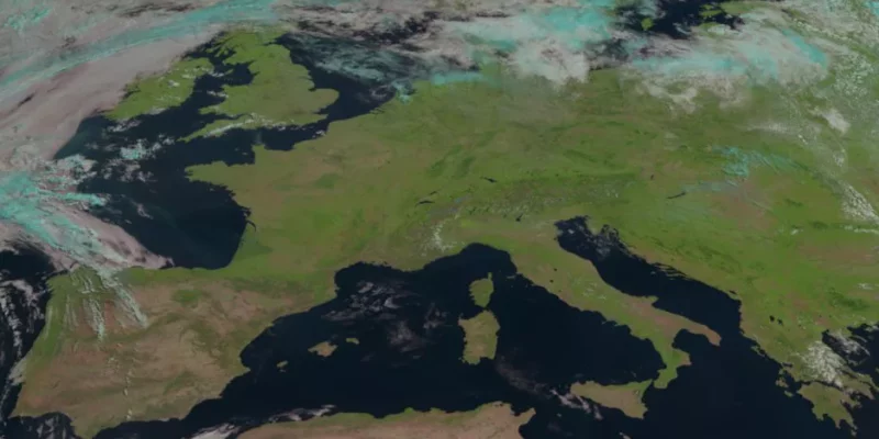
An unusually cloudfree view of Europe in July 2022 (Image credit: EUMETSAT)
Scientists know that Europe is warming faster than the area of the world amid progressing climate change, and the latest heatwave just confirms the trend. In the U.K, which is otherwise known for lukewarm summers and cloudy skies, Tuesday (July 19) found thermometers attack the dreaded 105 degree Fahrenheit (40 degrees Celsius) threshold for the first time in history.

Land temperatures in the U.K. in July 2022 measured by satellites.
The U.K. is one of the European countries where the highest alert for the risk of wildfire is in place on Tuesday. Italy, France, and Spain are also on the highest alert, with the latter two countries still fighting devastating blazes that erupted in early July.

As shown in this image in 19 July 2022, shows ‘Very Extreme Danger’ of fire – the highest level of risk in Spain, France, Italy and the United Kingdom. (Image credit: Copernicus)
Since Tuesday, more than 6,500 people have been disperaled from their homes and campsites as wildfires devoured in France’s southwestern regions, according to local police on Thursday. More than 9,000 acres have been destroyed by two large forest fires in the Gironde department, according to a statement published by the department’s police.
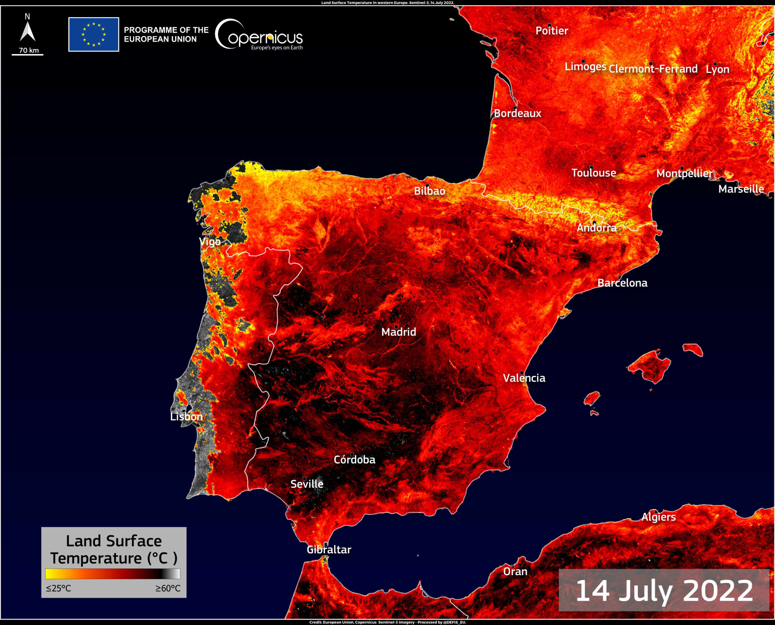
Land Surface Temperature of Spain and Frence (Image credit: Copernicus)
According to the European environment monitoring program Copernicus[1], over 150 square miles (390 square kilometers) of earth succumbed to flames over the past 10 days throughout France, Spain and Portugal. Unfortunately, the temperature conditions in these areas will continue to be fertile for the spread of wildfires.
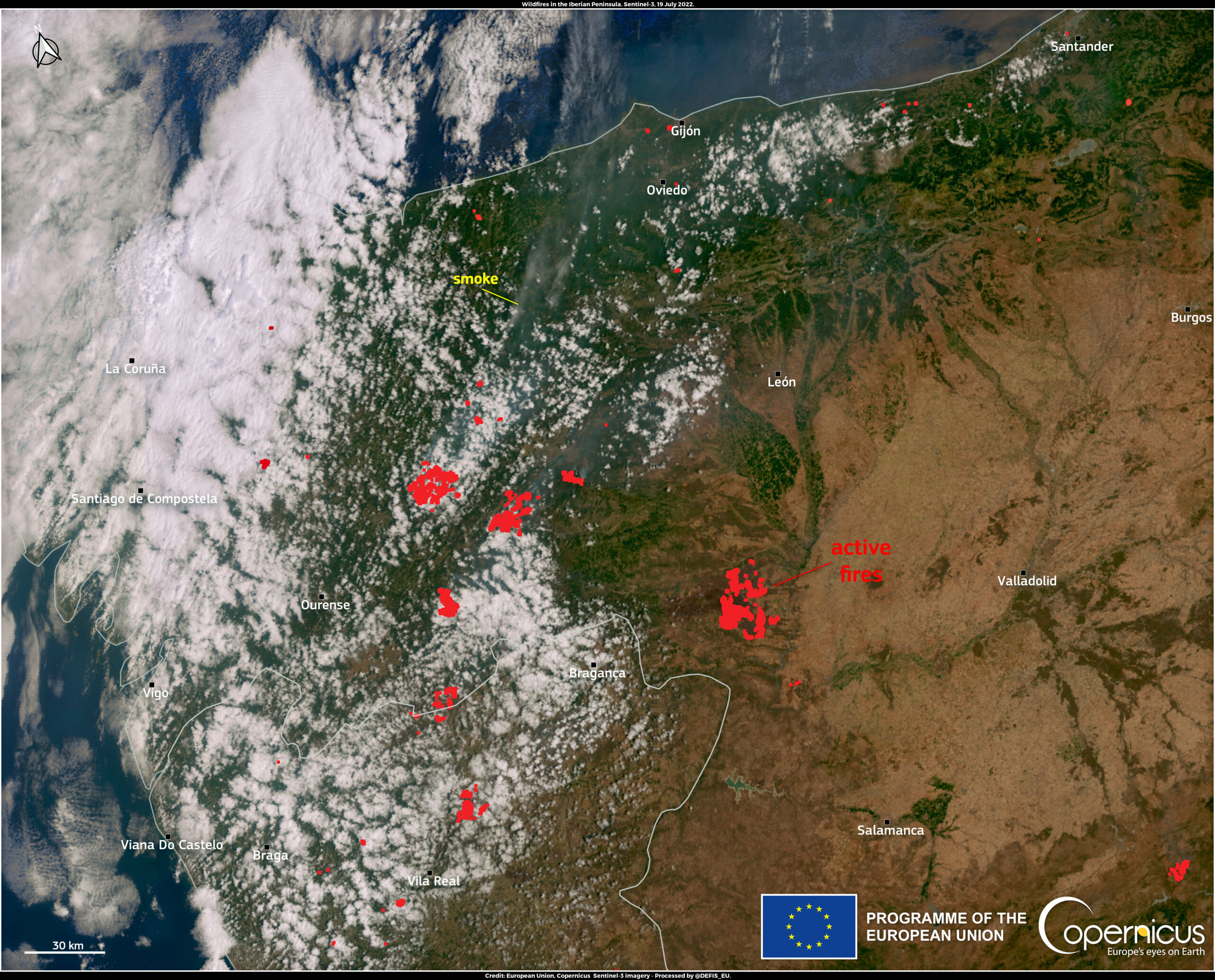
Wildfires avaging Western Europe (Image credit: Copernicus)
“Space based observations of the temperature of the surface of the earth offer unparalleled knowledge of the spatial structure of these heatwave events,” Darren Ghent, a researcher fellow at the National Centre for Earth Observation in Leicester, said in a statement.
While the heat and fires in Europe are frightening, the satellites in space also provide us with unique data. Hopefully, this data will help us better cope with the complexities of today’s situation.
Reference:
[1]Copernicus




The heat appears around the world, which is a worried problem.